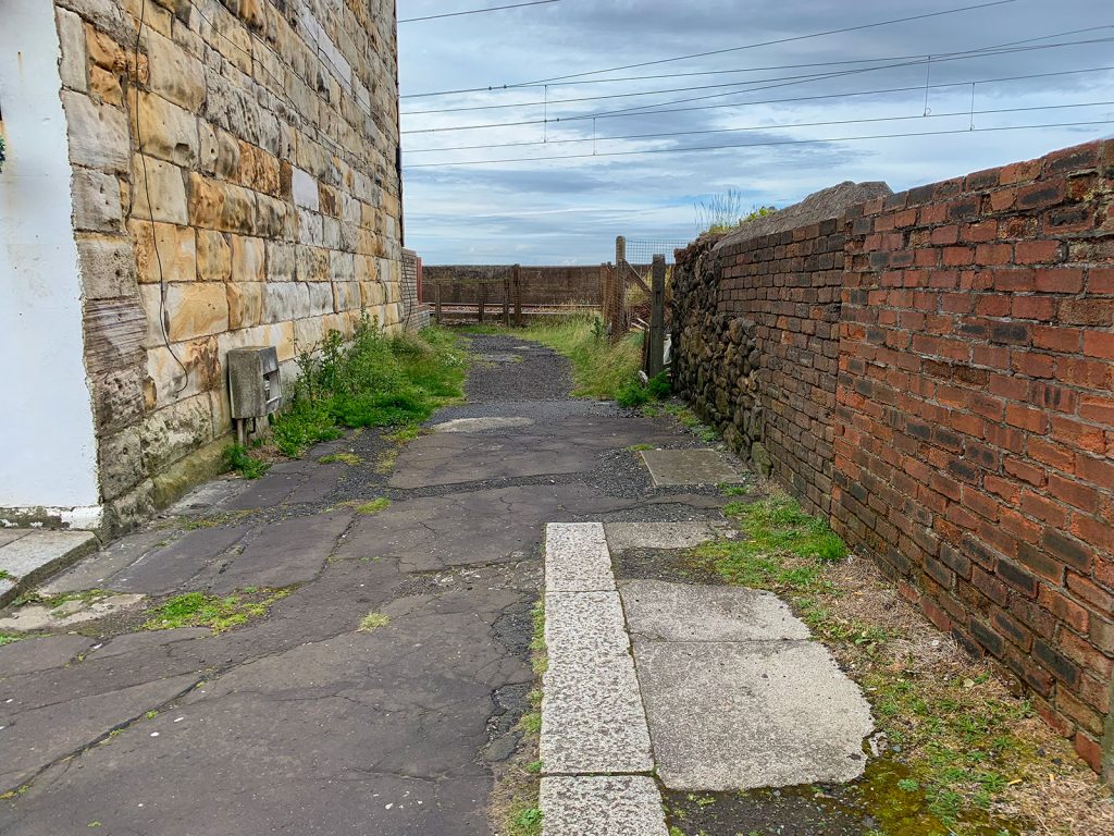
McLachlan’s Lane
McLachlan’s Lane, just off Canal Street, Saltcoats, was once used to access one of the two footbridges over the railway line, but it’s history goes back further than that.
It’s roughly the site of where the main road from Stevenston to Saltcoats crossed the railway until the bridge at Kyleshill was built. As a result, a level crossing existed here for road traffic. Before the railway, Seaview Road and Canal Street were one complete road.
The level crossing was called, unsurprisingly, McLauchlan’s Lane Level Crossing.
In 1904 it was decided that footbridges should be built here and at Seabank Street. Saltcoats Town Council agreed to foot the bill for the bridge at Seabank but got into a dispute with the Glasgow & South Western Railway as to who’s responsibility it was to build a bridge at the lane, with G&SWR only willing to build it if the level crossing was closed. The town council disputed this, claiming the crossing was still a public road.
In reality, this was before the esplanade between Stevenston and Saltcoats was built so by that time the level crossing did not go anywhere except the sea, which was fine for pedestrians but not much use for anything bigger. At one point the council attempted to cross the line with a horse and cart just to prove a point but were denied access.
This went on for several years, and a footbridge was eventually built in the 1920s by the London Midland and Scottish Railway. By that point, the level crossing was also gone.
The bridge was demolished in the 1980s during line electrification and replaced with another one slightly further west. Today the lane only provides access to the rear of some of the buildings on Canal Street.
As for the name McLachlan, we have no idea!